Services
Our geotechnical
solutions provide
stability – always focused
on our core areas.
Planning of investigation in consideration of project-specific requirements and conditions
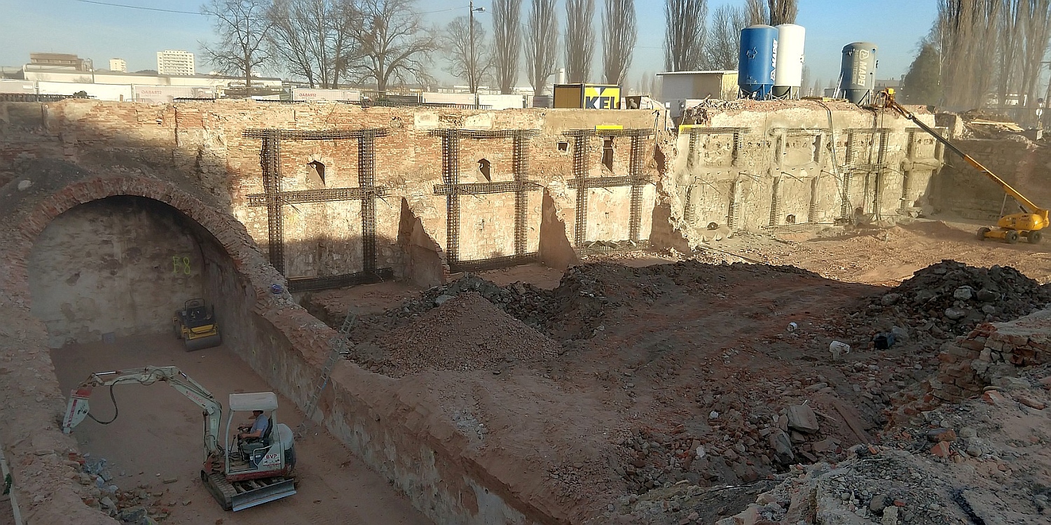
Organisation and provision of equipment and staff to make geological investigations
Direct exploration (core drilling, trial pits); indirect exploration (dynamic probing; CPT); field and laboratory tests
Technical accompaniment of exploration measures
Recording and documentation of observed soil conditions (geology, hydrogeology)
Summarisation and standard presentation of investigation results
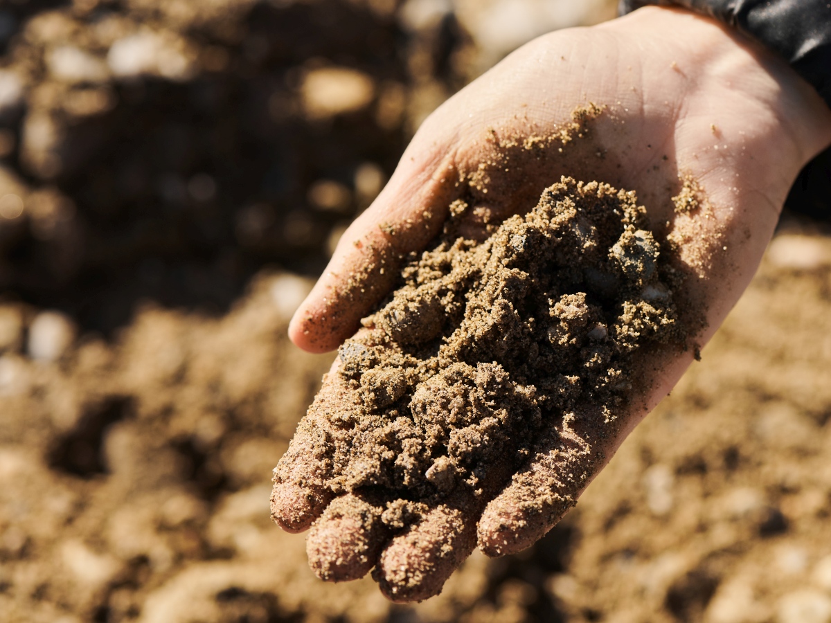
Summarisation and evaluation of soil conditions (geology, hydrogeology)
Evaluation of risk factors, for example unstable ground conditions (danger of landslides and creep); water (surface water, ground water, flooding); contaminations, polluted areas and relicts of war
Definition of soil and rock mechanical parameters
Individually coordinated recommendations for excavation and shoring design, foundation design, slope and bank stabilisation, and soil improvement measures
Definition of parameters for use in geotechnical design and calculations
Geotechnical considerations and recommendations for design and execution
Planning of exploration and examination measures in compliance with the client
Primary investigations as initial information about possible pollution or contaminations of a site; prospects for excavation material disposal or recyclability
Fundamental characterisation of excavation material according to the regulation for waste disposal sites / the Waste Management Act (relevant version) with planning and execution of sample extraction, chemical analysis in certified partner labs, drafting of assessment certificate
Efficient use of synergies due to combination of sampling and ground investigation

Planning of geotechnical measures for foundations, shoring, slope and bank stabilisation, etc.
Variation studies to determine the best technical and cost-efficient measures; bill of quantities, cost estimates
Creation of bidding documents for geotechnical measures
Geotechnical calculations with conventional software and finite element software (PLAXIS)
Geotechnical design conforming to current standards and guidelines (Eurocode 7)
Deformation and settlement analyses
Planning of geotechnical measuring and monitoring programmes
Consultation of clients and engineers for all geotechnical questions
Planning of measures for rainwater seepage in consideration of soil conditions (geology, hydrogeology), specifications in planning and regulatory standards
Design of measures for seepage, retention and/or drainage of rainwater
Coordination of measures with planners and authorities
Creation of permit application design documents in accordance with legal procedures

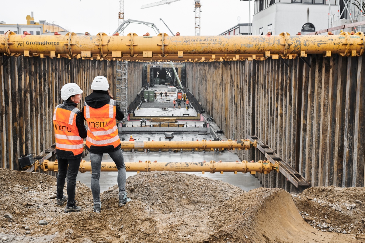
Recording and documentation of ground conditions during construction work; comparison with planning criteria
Evaluation of soil at bottom excavation / foundation level
Detailed determination and optimisation of all geotechnical measures, adjustment in accordance with conditions on site
Application of observational method according to Eurocode 7
Analysis and evaluation of collected data from measurements
Arrangement of additional or special geotechnical measures if required
Execution of inclinometer measurements, dynamic and static loading plate tests